Michael R. Weibel is senior reporter for the Herald Journal in Logan, Utah. Dan Miller is a freelance photographer and designer.
Request Academic Copy
Please copy the ISBN for submitting review copy form
Description
Mountain Checklist Preface Caution How to Use This Book Introduction Flora and Fauna of Utah's Mountains Mountain Weather Low Impact Hiking and Camping Wilderness County High Peaks 1. American Fork Twin Peaks, Salt Lake County 2. Bluebell Knoll, Wayne County 3. Brian Head Peak, Iron County 4. Bull Mountain, Box Elder County 5. Delano Peak, Beaver and Piute Counties 6. Deseret Peak, Tooele County 7. East Mountain, Emery County 8. Eccentric Peak, Daggett and Uintah Counties 9. Fish Lake Hightop, Sevier County 10. Gilbert Peak, Summit County 11. Ibapah Peak, Juab county 12. Kings Peak, Duchesne County 13. Mine Camp Peak, Millard County 14. Monument Peak, Carbon County 15. Mount Ellen, Garfield County 16. Mount Nebo, Utah County 17. Mount Peale, San Juan County 18. Mount Waas, Grand County 19. Naomi Peak, Cache County 20. Signal Peak, Washington County 21. South Tent Mountain, Sanpete County 22. Thurston Peak, Davis and Morgan Counties 23. Unnamed, Kane County (proposed Andy Nelson Peak) 24. Unnamed, Rich County (proposed Bridger Peak) 25. Unnamed, Wasatch County (proposed Mount Cardwell) 26. Willard Peak, Weber County Utah Classics 27. Mount Olympus 28. Mount Timpanogos 29. Notch Peak 30. Wellsville Cone Appendix A: Equipment List Appendix B: Problems at High Altitude Selected Readings Acknowledgments About the Authors
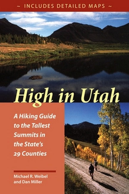
"Could be the best hiking book in the state to date." --Deseret News "Provides straightforward directions on how to reach the summits, and enables hikers to enjoy discovering the high-altitude outdoors. Each hike features three easy-to-read maps...valuable descriptive information...hikers using the maps and the detailed instructions would have a hard time getting lost. For peak baggers and recreational hikers alike. A great resource for active families." --BYU Studies

