The Cotswold Way Map Booklet

CICERONEISBN: 9781852848972

1:25,000 OS Route Mapping

Price:
Sale price$26.99
Stock:
In stock, 8 units
 More payment options

Contributions by Kev Reynolds
Imprint: CICERONE
Release Date:
Format:
PAPERBACK
Dimensions:
166 x 106 mm
Weight:
100 g
Pages:
48

Description

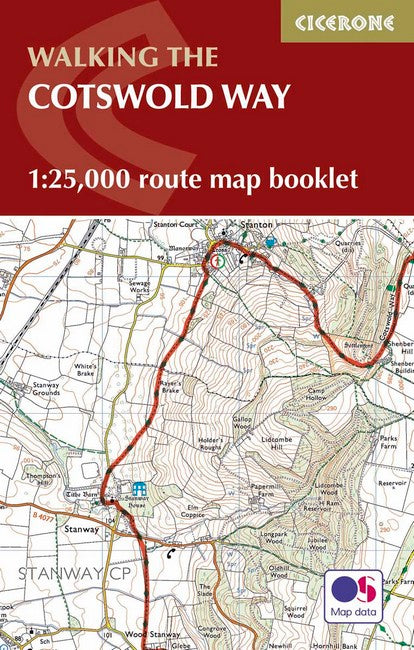
All the mapping you need to complete the Cotswold Way National Trail between Chipping Campden and Bath. NOTE: An accompanying Cicerone guidebook - The Cotswold Way - describes the full route in both directions with lots of other practical and historical information, for those who prefer a written guide. The accompanying guidebook INCLUDES a copy of this map booklet. This booklet of Ordnance Survey 1:25,000 Explorer maps has been designed for convenient use on the trail. It shows the full and up-to-date line of the Cotswold Way, along with the relevant extract from the OS Explorer map legend. It is conveniently sized for slipping into a jacket pocket or top of a rucksack and comes in a clear PVC sleeve.

Contents Key to map pages Stage 1 Chipping Campden to Stanton Stage 2 Stanton to Winchcomb Stage 3 Winchcombe to Cleeve Hill Stage 4 Cleeve Hill to Dowdeswell (A40) Stage 5 Dowdeswell (A40) to Birdlip Stage 6 Birdlip to Painswick Stage 7 Painswick to Middleyard (King's Stanley) Stage 8 Middleyard (King's Stanley) to Dursley Stage 9 Dursley to Wotton-under-Edge Stage 10 Wotton-under-Edge to Hawkesbury Upton Stage 11 Hawkesbury Upton to Tormarton Stage 12 Tormarton to Cold Ashton Stage 13 Cold Ashton to Bath OS Explorer map legend

You may also like

Recently viewed